V73RRC - Ujelang Atoll (IOTA OC-278 New One)is a coral atoll of 30 islands in the Pacific Ocean, in the Ralik Chain of the Marshall Islands. Its total land area is only 1.86 square kilometres (0.72 sq mi), but it encloses a lagoon of 185.94 square kilometres (71.79 sq mi). It is the westernmost island in the Marshall Islands, and located approximately 217 kilometres (135 mi) southeast of Enewetak, and approximately
600 kilometres (370 mi) west of the main Ralik Chain. More details...

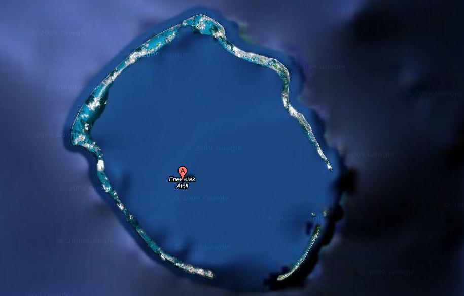
V73QQ - Enewetak Atoll (or Eniwetok Atoll) (IOTA OC-087) is a large coral atoll of 40 islands in the Pacific Ocean, and forms a legislative district of the Ralik Chain of the Marshall Islands. Its land area totals less than 5.85 square kilometres (2.26 sq mi), surrounding a deep central lagoon, 80 kilometres (50 mi) in circumference. It is the second westernmost atoll of the Ralik Chain, and is located 305 kilometres (190 mi) west from Bikini Atoll. The U.S. government referred to the atoll as "Eniwetok" until 1974, when it changed its official spelling to "Enewetak" (along with many other Marshall Islands place names) to more properly reflect their proper pronunciation by the Marshall Islanders.

Some 43 nuclear tests were fired at Enewetak from 1948 to 1958. The first hydrogen bomb test, code-named Ivy Mike, was held in late 1952 as part of Operation Ivy, and it vaporized the islet of Elugelab. This test included the use of B-17 Flying Fortress drones to fly through the radioactive cloud for the purpose of testing onboard samples. The drones were controlled by B-17 mother ships flying within visual distance of these drones. In all there were 16 to 20 B-17s taking part in this operation, of which half were controlling aircraft and half were drones. For examination of the explosion clouds of the nuclear bombs in 1957/58 several rockets (mostly from rockoons) were launched. More details...